We are pleased to inform you that a new SIGMA course has been published online in FAO’s E-learning centre. The new course ‘Hyper-temporal remote sensing to support agricultural monitoring’ is available in in the E-learning centre, category “Geospatial Data for Land Monitoring”
The course is designed for self-paced learning, and offered free of charge.
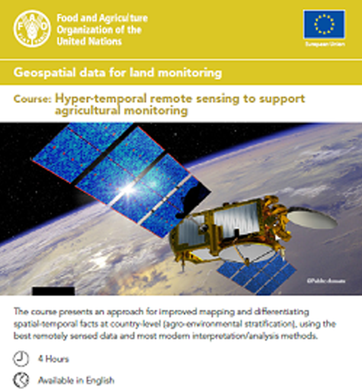
The course presents an approach for improved mapping and differentiating spatial-temporal facts at country-level (agro-environmental stratification), using the best remotely sensed data and most modern interpretation/analysis methods.
You will learn about
- The use of the hyper-temporal time-space domain
- The Vegetation and remote sensing
- The Acquisition and pre-processing of hyper-temporal vegetation (NDVI) data sets
- The Classification of hyper-temporal data
- How to visualize, interpret and analyze hyper-temporal data sets
- How to capture and display agricultural statistics, using NDVI-maps
Key partners
The course was developed by FAO in close collaboration with ITC, the Faculty of Geo-Information Science and Earth Observation of the University of Twente, The Netherlands (Dr Kees de Bie and Drs Eduard Westinga) and funded by the European Union (Research Framework Programme - FP7), within the Stimulating Innovation Global Monitoring of Agriculture Initiative (SIGMA).
More information
For more courses, please take a look at the FAO e-learning centre or
download the Hyper-temporal remote sensing to support agricultural monitoring course leaflet.


